
Making a Difference



Early warning systems for safer lives in Afghanistan’s mountains
Afghanistan’s mountains shape where people live, how they travel, and how they experience risk. Steep valleys, narrow river corridors, unstable slopes, and long winter isolation can turn a landslide, flash flood, avalanche, drought, or earthquake into a crisis within hours. For communities in remote areas, warning time is often as valuable as emergency supplies.
Disaster risk reduction in these settings depends on more than installing sensors. An effective early warning system connects risk knowledge, monitoring, forecasting, communication, and community action. It must reach people who may have limited electricity, weak mobile coverage, low literacy, or little access to formal public services.
The United Nations has a role in helping national institutions, local authorities, humanitarian organizations, and communities strengthen these links. The archived UN70 “Strong UN. Strong Afghanistan.” campaign provides a useful reminder that resilience is built through Afghan people and institutions, whose knowledge and daily efforts are central to safer communities.
Why mountain hazards require local warning networks
Afghanistan’s highland geography creates sharply different risks over short distances. A heavy rainfall event may produce a flash flood in one valley, while snow accumulation and freezing temperatures create avalanche danger in another. In spring, rapid snowmelt can raise river levels, damage bridges, and isolate settlements. Drought and land degradation develop more slowly, yet they can weaken household resilience before a sudden hazard occurs.
Mountain communities often have detailed environmental knowledge. Farmers recognize changes in snowpack, springs, soil moisture, river color, and animal behavior. Shepherds may know which slopes become unstable after rain or thawing. This experience should complement scientific forecasting rather than be treated as anecdotal or secondary. Community observations can fill gaps where formal monitoring stations are sparse.
The physical environment also affects the delivery of warnings. A message issued in a provincial capital may not reach a village beyond a mountain pass. Radio signals can be interrupted, roads may be blocked, and households may not have smartphones. Warning plans therefore need several communication routes, including local radio, mosque loudspeakers where appropriate, village committees, health workers, schools, mobile phone alerts, and direct contact through trusted community representatives.
The four links in an effective warning system
A reliable system begins with an understanding of who and what is exposed. Hazard maps, historical records, satellite information, local testimony, and seasonal forecasts can identify settlements at risk from floods, landslides, avalanches, earthquakes, and drought. Risk assessments should also consider age, disability, gender, displacement, poverty, language, and access to transport.
The second link is observation and forecasting. Rain gauges, river-level markers, snow measurements, seismic equipment, weather data, and remote sensing can help identify changing conditions. These tools are most useful when agencies agree on thresholds and responsibilities. A forecast should lead to a defined decision: monitor closely, prepare supplies, move livestock, close a road, evacuate a settlement, or open a safe shelter.
The third link is communication. A warning must be clear about the hazard, location, expected timing, likely effects, and recommended action. Technical terms and uncertain forecasts should be translated into practical instructions. Messages in local languages, delivered through channels people already trust, are more likely to prompt timely action.
The final link is preparedness and response capacity. People need safe routes, agreed meeting points, emergency contacts, accessible shelters, first-aid knowledge, and plans for children, older people, people with disabilities, and those unable to travel independently. A warning that arrives without a realistic way to act can create confusion rather than protection.
Connecting national forecasting with village decisions
Afghanistan’s national and provincial institutions are essential to a functioning warning chain. Meteorological, hydrological, geological, disaster management, and local governance bodies each hold different information and responsibilities. Coordination can reduce duplicated alerts, clarify who verifies a threat, and ensure that local authorities receive warnings early enough to act.
A practical system should define the movement of information in both directions. National services may issue a rainfall or river forecast, while district officials and community groups report blocked channels, damaged gauges, unusual snow conditions, or rising water. This two-way flow helps improve forecasts and reveals whether messages are reaching the people most at risk.
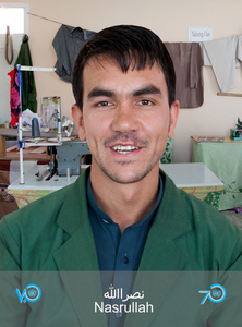
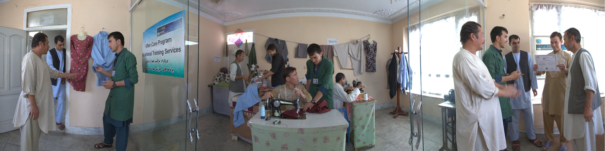
The United Nations and its partners can support risk-informed planning through technical assistance, training, coordination, and links between humanitarian action and longer-term development. Work on livelihoods and social cohesion also matters because households with stable income, stronger community ties, and access to services are better positioned to prepare for hazards and recover afterward. For example, vocational training programs show how support for skills and livelihoods can contribute to wider community resilience when it is connected to local needs.
Tools that work when infrastructure is limited
Technology should be selected for reliability, affordability, and local maintenance rather than novelty. Automatic weather stations, river gauges, satellite imagery, geographic information systems, and seismic monitoring can provide valuable data. Yet a sophisticated device is of limited use if batteries cannot be replaced, equipment cannot be repaired, or data cannot be interpreted by the agencies responsible for warnings.
Low-cost tools can be highly effective. River staff gauges allow residents to observe water levels against marked danger points. Rain gauges can support local rainfall records. Community noticeboards, flags, bells, megaphones, and radio broadcasts may continue functioning during power cuts or network disruptions. Solar chargers and backup batteries can improve the reliability of communications in isolated areas.
Digital systems can extend reach through text messages, voice alerts, messaging applications, and online dashboards. They should supplement, rather than replace, offline methods. A multi-channel approach is especially important for people without phones, people who cannot read, and settlements where connectivity is seasonal. Alerts should be tested with communities before an emergency exposes weaknesses.
| System element | Mountain application | Practical safeguard |
|---|---|---|
| Risk knowledge | Map villages, roads, bridges, slopes, water sources, and evacuation areas | Update maps with local observations and seasonal changes |
| Monitoring | Track rainfall, river levels, snow, earthquakes, and soil movement | Assign responsibility for maintenance and data review |
| Forecasting | Establish thresholds for floods, avalanches, landslides, and severe weather | Link each threshold to a specific protective action |
| Communication | Use radio, phone alerts, loudspeakers, officials, and community networks | Deliver messages in clear local languages through several channels |
| Preparedness | Plan routes, shelters, transport, first aid, and livestock movement | Conduct drills and include people with mobility or communication needs |
| Review | Record missed alerts, false alarms, and response barriers | Improve the system after every event and exercise |
Building trust through inclusive preparedness
Trust is a critical form of infrastructure. Residents are more likely to follow an alert when they know who issued it, have seen the system work, and understand why the recommended action matters. Consistent messages from authorities, aid organizations, community leaders, and local radio can prevent rumors from competing with official information.
Preparedness committees should represent the full community rather than only prominent landowners or local officials. Women, young people, older residents, people with disabilities, minority groups, displaced families, and residents of remote hamlets may identify risks that others overlook. Their participation can improve evacuation plans, shelter arrangements, and the timing and language of alerts.
Gender-sensitive planning is particularly important in mountain areas where social roles may affect access to information, transport, and decision-making. Warning systems should consider whether women and men receive messages through different channels, whether women can travel safely to designated shelters, and whether facilities provide privacy and security. Information should also account for people with hearing, vision, cognitive, or mobility impairments.
Trust grows through practice. Community drills can test whether a siren is audible, whether an evacuation route is passable, and whether families know where to reunite. Exercises should be conducted respectfully and adapted to local customs. Their purpose is to identify practical barriers, not to assign blame.
From warnings to risk-informed recovery
Early warning systems are most valuable when connected to broader disaster risk reduction. Land-use planning can discourage construction in flood channels and unstable slopes. Watershed restoration, terracing, drainage improvement, snow management, and maintenance of bridges and roads can reduce exposure before an emergency. Schools, clinics, water systems, and markets should be assessed for structural and access risks.
Preparedness also supports continuity of essential services. A mountain district may need plans for keeping health referrals open, protecting water points, moving food and medicines, and communicating when roads are cut. Local authorities and humanitarian partners can pre-position supplies based on seasonal risk analysis, while ensuring that assistance reaches isolated settlements rather than stopping at accessible centers.
Recovery provides an opportunity to rebuild more safely. After a flood or landslide, damage assessments should examine why losses occurred and whether reconstruction could increase future exposure. Restoring a road without improving drainage, or rebuilding a house in the same unstable channel, may reproduce the original risk. Recovery decisions should draw on community knowledge and transparent information about land, services, and safety.
Climate variability makes this long-term approach increasingly important. Changing precipitation patterns, warmer temperatures, altered snowmelt, and water stress can affect the timing and intensity of hazards. Forecast-based action, seasonal preparedness, and flexible local planning can help communities manage uncertainty without waiting for a disaster to reveal new risks.
Priorities for stronger mountain resilience
- Connect national forecasts with district officials and community focal points through clearly defined alert protocols.
- Maintain a mix of digital and offline communication channels, including local radio, direct outreach, and accessible public announcements.
- Invest in simple monitoring equipment that local teams can operate, repair, and report on consistently.
- Make evacuation plans inclusive by addressing transport, disability access, language, gender, livestock, and the needs of isolated households.
- Fund regular drills, after-action reviews, and risk mapping so that each emergency improves the next response.
A strong warning system is measured by what people can do with information, not by the number of instruments installed. In Afghanistan’s mountains, effective action depends on local trust, reliable institutions, practical infrastructure, and sustained partnership. UN Afghanistan’s wider work with communities offers a framework for recognizing Afghan leadership in that process.
Organizations working in disaster risk reduction can help turn forecasts into protection by supporting local monitoring, inclusive planning, resilient livelihoods, and community-led preparedness. Strengthening these connections today gives families more time to move, protect essential assets, and save lives when the next mountain hazard arrives.