
Making a Difference

Weather stations that help Afghanistan prepare
Afghanistan’s communities face a changing mix of hazards: river flooding and flash floods, severe winter weather, drought, landslides and earthquakes. Weather cannot prevent every shock, but timely observations can reveal where rain is falling, how winds are shifting and whether conditions are worsening. UN-installed weather stations add a dependable layer to Afghanistan’s disaster early warning systems.
Each station is only one part of a chain that begins with a sensor and ends with a person deciding whether to move livestock, secure a home, close a road or seek assistance. Observations are transmitted to Afghan meteorological officials, combined with forecasts and flood information, and translated into warnings for districts and villages. A network becomes protective when its data reaches the right decision-maker quickly enough to act.
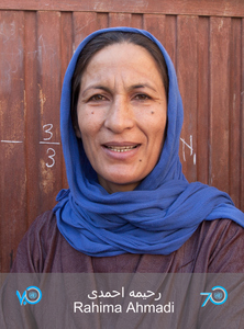
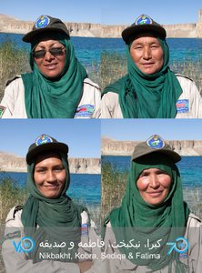
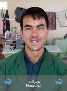
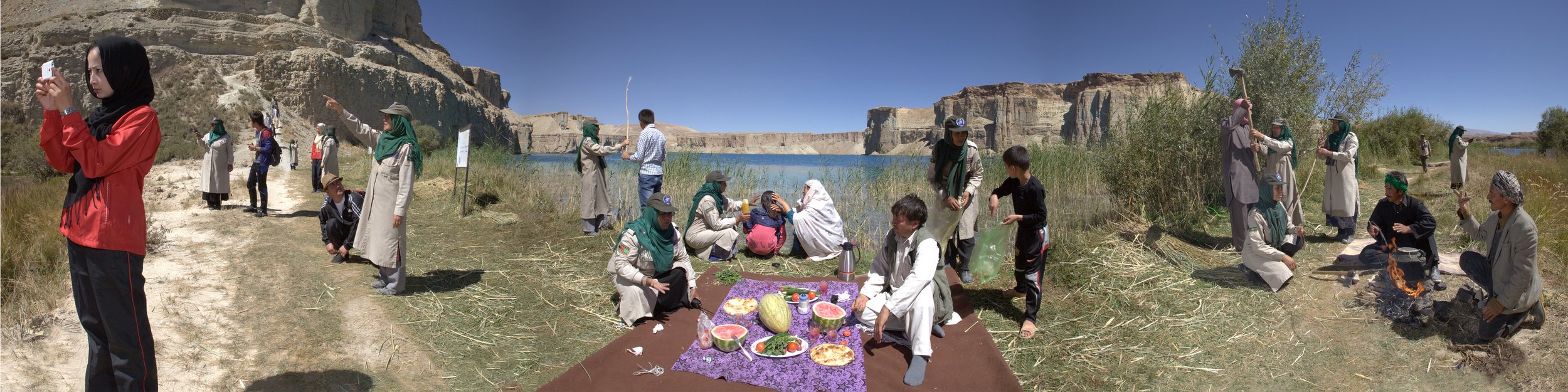
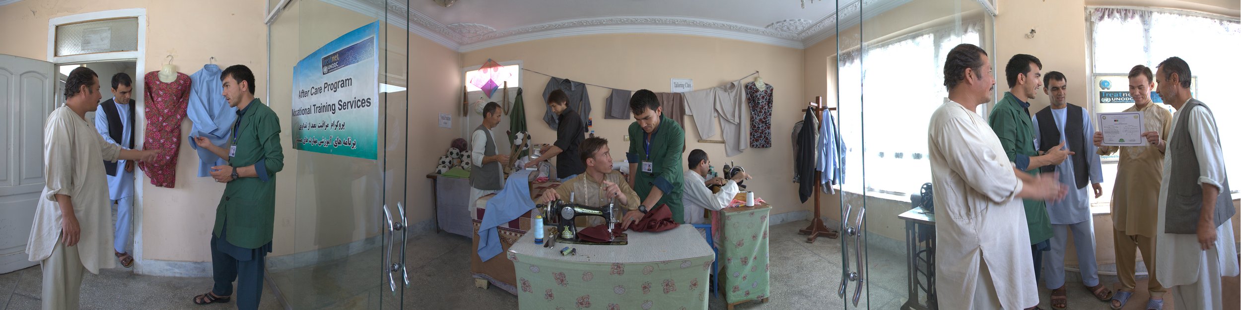
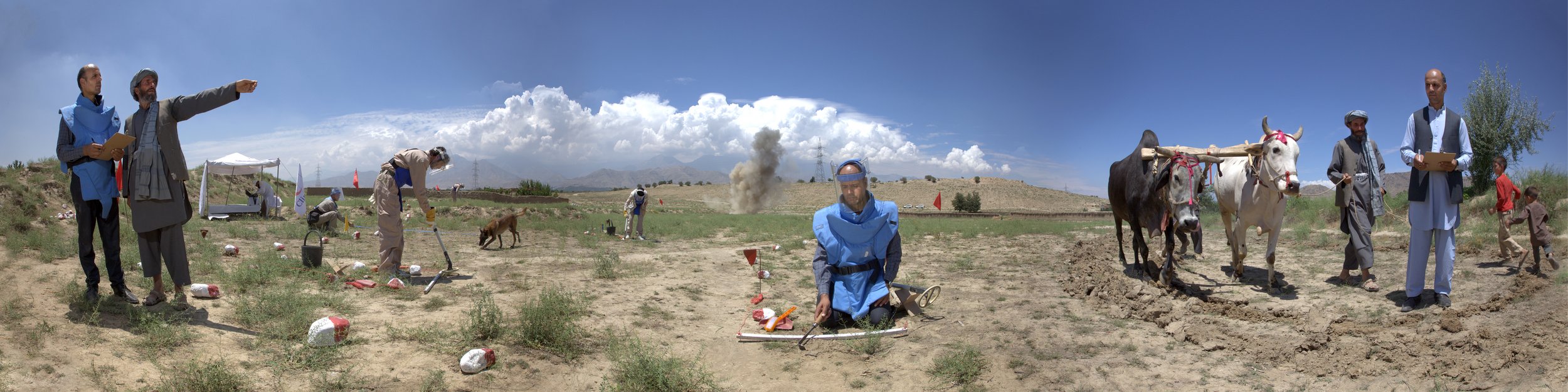
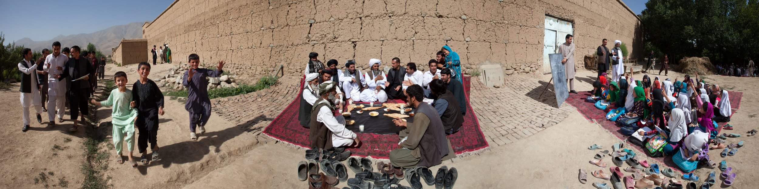
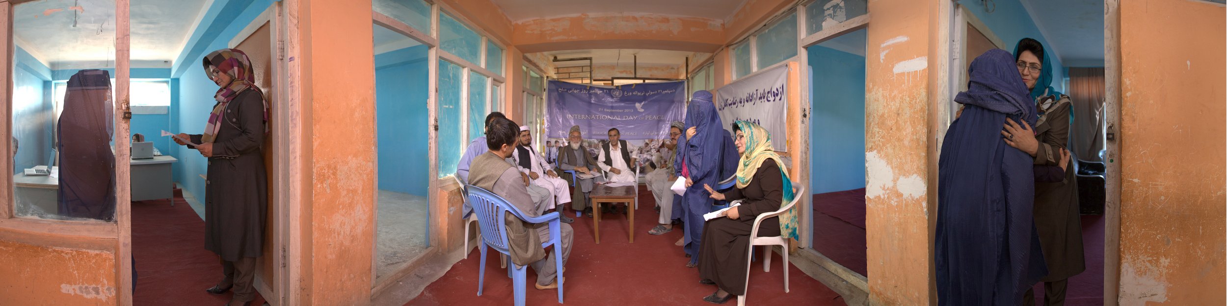
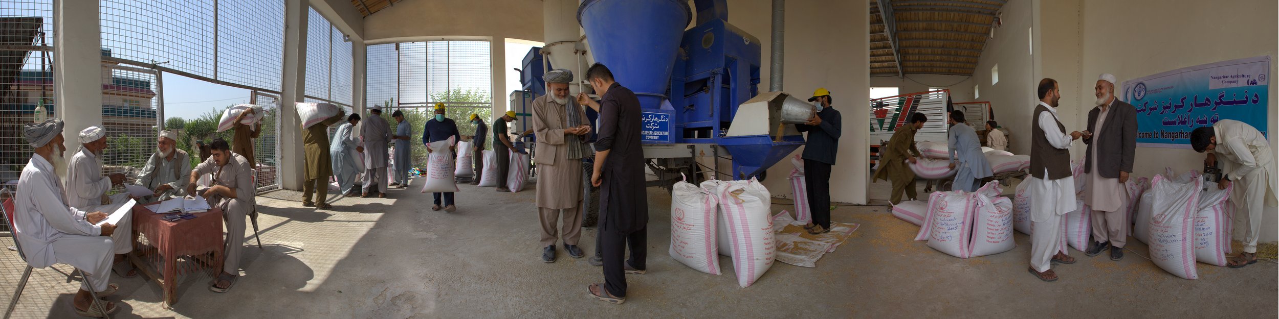
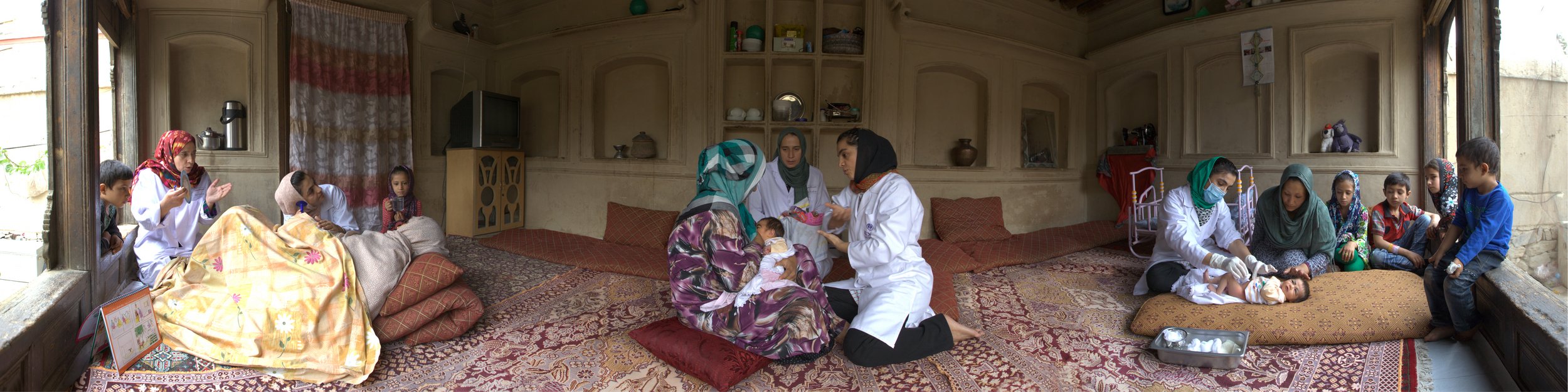
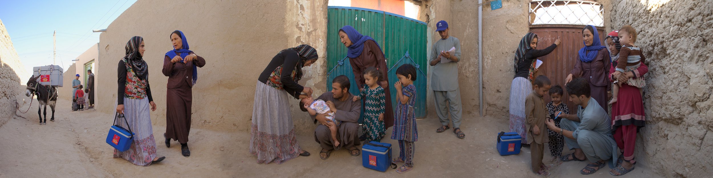
The archived UN70 Strong UN. Strong Afghanistan. campaign reflects this partnership by centring Afghan contributors rather than presenting international support as a finished product. Meteorologists, technicians, farmers, teachers, local authorities and community volunteers connect national systems with daily life. Their work shows why resilient infrastructure, trusted communication and local knowledge must grow together.
From instruments to timely warnings
An automated observing station gathers a consistent set of measurements that can include rainfall, temperature, humidity and wind speed. At suitable sites, river-level, soil-moisture or snow instruments may supplement those readings. Solar panels, batteries and telemetry allow information to move without a person recording every hour by hand. That continuity matters in a country where severe conditions can develop between scheduled observations.
The measurements enter a forecast and warning process. Meteorologists place current readings alongside satellite information, river levels, terrain and historical patterns to estimate likely impacts. Agreed thresholds help determine whether to issue advice or a formal alert. The purpose is a shorter, clearer path from changing conditions to a protective decision, rather than simply a larger volume of data.
These instruments also have defined limits. Weather stations do not predict earthquakes, and a rain gauge alone cannot map every landslide risk. Forecasting still depends on models, specialist judgement and information from other sources. Their contribution is strongest as part of a connected system in which observations, forecasts and warnings reinforce one another.
Engineering for terrain and uncertainty
Afghanistan’s geography makes installation a serious undertaking. Mountain passes, long distances, winter snow, landslides and limited road access can delay technicians and spare parts. A station intended for a remote district must be rugged, easy to inspect and capable of operating when mains power or a conventional network connection is unavailable. Location also requires care so observations represent the river basin or settlement they are meant to protect.
Power and communications need separate contingency. A solar panel with a correctly sized battery can sustain a low-draw sensor, while mobile or satellite telemetry can bypass weak local coverage. Where one route fails, a second can preserve the flow of information. Regular visits for cleaning, calibration, battery checks and software updates remain essential; hardware on its own does not guarantee a working observation.
Long-term reliability depends on Afghan ownership. National and provincial meteorologists need to understand the equipment, interpret gaps and direct maintenance priorities. UN support can provide equipment, technical training, spare parts and links to wider humanitarian coordination, but Afghan personnel must remain able to operate the network. Local technicians also understand access conditions and community needs that cannot be captured in a distant maintenance schedule.
Communities complete the warning chain
Warnings become protective only when people receive and trust them. District authorities may use radio, public announcements, mobile messages and community focal points, while local radio presenters and respected leaders can explain what an alert means in familiar language. People need a clear instruction: which area is affected, how serious the threat is, when the danger may arrive and where assistance can be sought.
Community observation adds another dimension. A farmer may notice water rising upstream, a shepherd may report hail damage across a grazing route, or a village council may know which families live beyond a flooded crossing. Combining these reports with station data helps officials verify conditions and target warnings. It also prevents a technically precise alert from missing practical realities on the ground.
| Capability | Afghan UN-installed weather network | Australian warning landscape |
|---|---|---|
| Observations | Automated stations supplement Afghan meteorological and community reporting. | The Bureau of Meteorology combines automated stations, radar, satellites and observations from its network. |
| Forecasting | Data supports national and provincial forecasts, flood awareness and district warnings. | BOM issues national forecasts, Severe Weather Warnings, fire-weather warnings and Tropical Cyclone Warnings. |
| Communication | District alerts can use radio, public notices, mobile channels and community networks. | Alerts are carried through BOM warnings, ABC Emergency Broadcasts, state services, councils and emergency-alert systems. |
| Community role | Afghan technicians and local observers help maintain, verify and explain warnings. | Communities work with BOM, state emergency agencies, councils and volunteer response organisations. |
| Central lesson | Local ownership and resilient power and links determine whether data becomes action. | Layered systems and clear public messaging remain essential even where infrastructure is extensive. |
This comparison is not a claim that the two countries face identical conditions. It highlights transferable principles: several communication channels, visible local ownership, clear thresholds and data that decision-makers can test. Australia’s experience also shows that public trust grows when forecasts explain uncertainty and agencies state when observations or infrastructure are unavailable. Afghan systems require the same transparency within their own operating context.
What Australia’s warning systems offer
Australia’s Bureau of Meteorology provides a useful reference point for Australian readers. It operates extensive observation and forecasting services, issues Severe Weather Warnings and Tropical Cyclone Warnings, and publishes fire-weather information used by emergency agencies. During the northern wet season, communities from Darwin along the Top End coast prepare for cyclone impacts. In southern cities, residents may also face intense storms, flash flooding or bushfire conditions.
When a storm crosses metropolitan Melbourne or heavy rain affects Perth, people can receive information through the BOM app, ABC Emergency, state emergency services and local government channels. Rural and remote areas add another layer: volunteer brigades, community organisations and satellite or mobile coverage may bridge distance. Australia’s experience demonstrates how institutional information and community response reinforce each other.
For Australian technical institutes, suppliers and preparedness professionals, the Afghan case highlights demand for durable low-power sensors, open data standards, field-repair capacity and training that responds to local realities. These product and service categories already exist in Australia’s domestic market. The opportunity is to contribute in ways Afghan partners define, prioritising maintainability and access over costly systems that quickly fall outside local capability.
Practical actions for safer response
Early warning improves outcomes when advice is simple and people know how to respond. The following actions translate forecasts and alerts into practical protection for households and local responders.
- Move people, livestock and essential supplies away from riverbanks, unstable slopes and flood-prone roads when advised.
- Keep phones charged, medicines accessible, emergency water available and identity papers together.
- Confirm bulletins through district authorities or trusted local radio, then pass alerts to neighbours with limited connectivity.
- Avoid unnecessary travel and exposed river crossings during severe weather or flood warnings.
Authorities and supporting partners have a complementary set of responsibilities:
- Inspect sensors, solar systems, batteries and telemetry on a scheduled rotation.
- Publish the latest valid observation, forecast issue time and any gaps in coverage.
- Maintain backup radio, mobile or satellite links for high-risk districts.
- Train community observers and include women, older people, people with disabilities and remote households in warning plans.
These habits do not replace official forecasts; they make official information more usable. Regular exercises, clear thresholds and feedback from affected communities help agencies refine both warnings and services. The aim is a warning people receive before the hazard peaks, understand without specialist language and can act on with the resources available locally.
Keep Afghan leadership at the centre
Preparedness has lasting value when institutions, skills and trust remain after an emergency. Afghan meteorologists and technicians understand the country’s hazards and communities; UN partners can help connect equipment to national systems, international standards and humanitarian planning. The strongest approach treats Afghan personnel as leaders of a sustained service, with support designed around maintenance, training and local procurement rather than short-term visibility.
The UN70 Strong UN. Strong Afghanistan. campaign also preserves stories of that relationship. Its photographs, news and messages from the Special Representative of the Secretary-General show the wider human context behind technical systems: people protecting children, preparing for winter, caring for livestock and rebuilding after disasters. Sharing those stories supports the visibility of Afghan leadership and keeps preparedness connected to the communities it serves.
Explore the archived campaign and use its media and social links to share verified examples of Afghan disaster preparedness. Australian organisations with relevant technical or community expertise can engage with current UN Afghanistan and humanitarian channels to support open data, resilient field maintenance and locally defined warning coverage. Keep Afghan voices, practical knowledge and durable warning networks at the centre of every partnership.